


Outreach
GEOMAP personnel participate in outreach activities to promote Geography, GIS, GPS, and mapping technologies to multiple audiences, including students (K-12 and university), administrators, faculty/staff, teachers, and the community. Examples of our outreach events include:
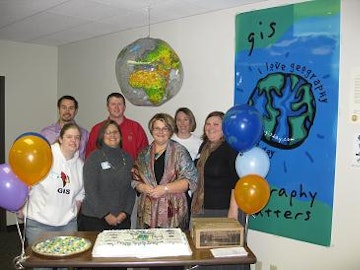
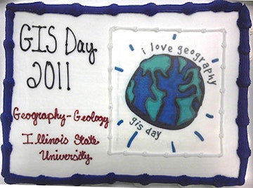
GIS Day
Many outreach activities occur during Geography Awareness Week and international GIS Day in mid-November. GEOMAP and the Department of Geography-Geology partner with other ISU departments and local government entities in McLean County to host a GIS Day event each year.
Workshops for Pre-Service and In-Service Teachers
GEOMAP provides workshops for both pre-service and in-service teachers in a variety of fields. In addition to working with our ISU Geography Education and Earth and Space Science Education majors on a regular basis, we organize workshops for pre-service teachers outside our department, including Elementary Education students in C&I 258: Social Studies Methods.
A one-day workshop focused on incorporating GPS, Google Earth, and GIS in high school science classes was held for a cohort of Illinois high school science teachers participating in the Global Climate Change: Threatened Species, Threatened Environments teacher workshop, a summer and fall workshop that is part of the U.S. Department of Education (DoE)/ Illinois State Board of Education (ISBE) funded Illinois Mathematics and Science Partnership (IMSP) program.
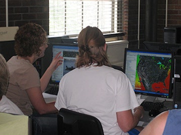
Global Climate Change: Threatened Species, Threatened Enviroments workshop participants work together to develop new lesson plans incorporating Google Earth.
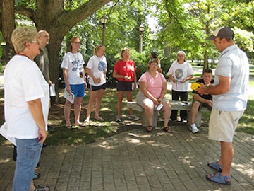
Global Climate Change: Threatened Species, Threatened Enviroments workshop participants receive training on using hand-held GPS units.
Illinois Summer Research Academy
We offered a week-long opportunity in Geomapping for the 2010 Illinois Summer Research Academy. The Illinois Summer Research Academy, sponsored by the Illinois State University Center for Mathematics, Science, and Technology (CeMaST), provides high school freshmen, sophomores, and juniors the opportunity to work ISU professors and other high school students from across Illinois working on various hands-on research projects. Geomapping students were introduced to GIScience through multiple hands-on computer and field-based research projects and had the opportunity to apply GIS, GPS/mobile mapping, remote sensing, field data collection, 3-D visualization, and other geographic methods to topics natural and social science topics.
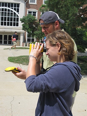
Dr. Kostelnick and ISRA participant work on a research project mapping trees on the campus of Illinois State University during July 2010. Dr. Kostelnick is holding a GPS unit, while the ISRA participant is looking through a laser-guided range finder. The range finder is connected to the GPS unit using blue-tooth technology.
Expanding Your Horizons
Expanding your Horizons (EYH) is an annual conference for girls in grades 5-10, their parents and teachers to help motivate young women to enter careers in science and mathematics. For the last several years, Amy Bloom has offered the Using Computers to Make Maps workshop for the EYH conference.
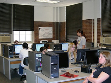
Students participate in the Using Computers to Make Maps workshop during the Expanding Your Horizons Conference.
Family Science Day
Family Science Day is an annual public outreach event held at ISU to educate and inspire Pre-K through 8th grade students in the fields of science, technology, engineering, and mathematics (STEM). The event draws over 1,400 people. GEOMAP sponsors a booth at Family Science Day to provide hands-on experiences in GIS and mapping technologies to the next generation of geographers.